A website and dataset of publicly accessible toilets in the UK, to help people to find toilets that meet their needs.
At a glance
- The Great British Public Toilet Map is an academic project that has led to a spin-out company, Public Convenience, a collaboration between RCA researchers and developers Neontribe, which continues to run and expand the map.
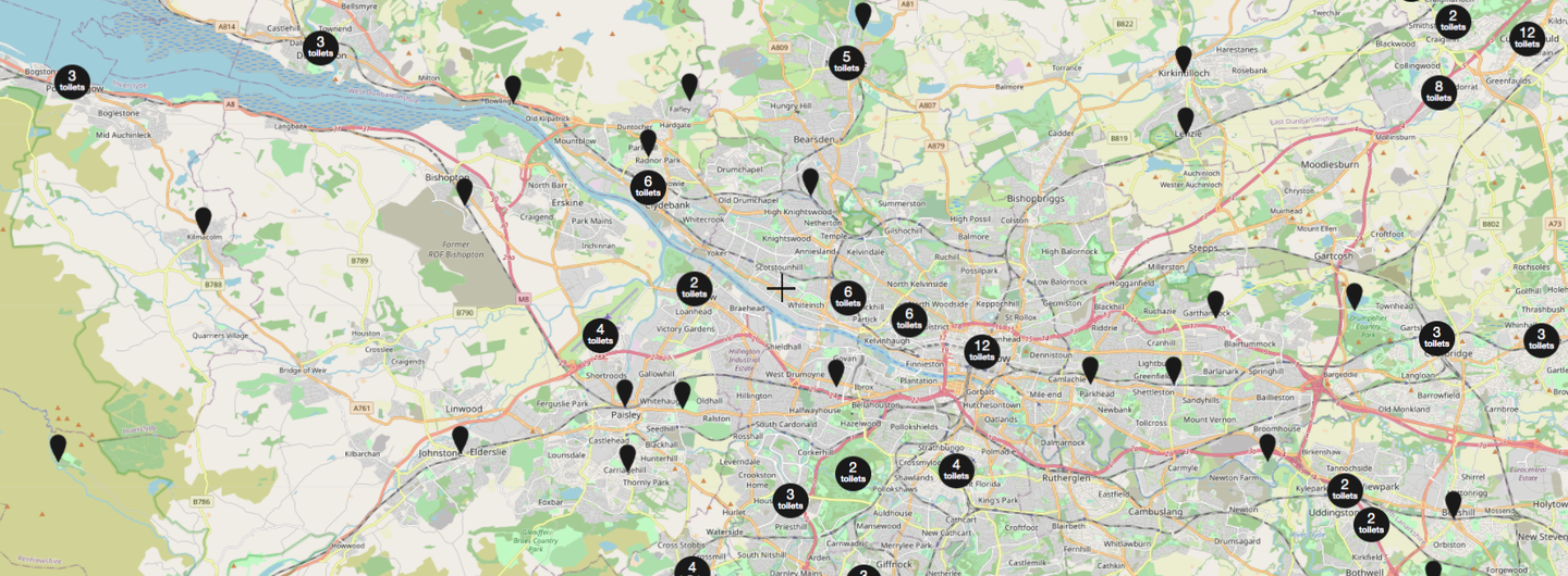
- It is the largest database of publicly accessible toilets in the UK, detailing 10,000 facilities using information from local councils, private providers, open data, and the public.
- It aims to increase everyday freedom through greater awareness in the availability of toilet facilities, building on an output from ‘Tackling Ageing Continence through Theory, Tools and Technology (TACT3)’ (ESRC, 2009–12).
Key details
Gallery


More information
The challenge
We all know how difficult it can be to find a toilet when away from home, but for some, such as older people or those with reduced continence due to a medical condition, this can be much more than an inconvenience.
Investigations carried out by the researchers during the project ‘Tackling Ageing Continence through Theory, Tools and Technology (TACT3)’ (New Dynamics of Ageing, ESRC 2009–2012) found out that there was no national dataset of public toilets. What’s more, local authorities were passing responsibility for toilets onto parish councils, town councils and communities, or relying on private providers (cafes, shops) to allow the public to access their toilets.
The lack of information about this increasingly complex landscape of publicly accessible toilet provision was making it difficult for people to plan journeys or find toilets suitable for their individual needs.
Our approach
The Great British Public Toilet Map was established by using data provided by local councils through Freedom of Information requests, National Rail Enquiries and other organisations to give information about public toilets in the UK. It also includes open data from sources such as OpenStreetMap.
The map continues to grow, in both the number of facilities it shows and the details about each one, through public contributions: anyone can add data to the map online.
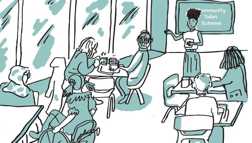
The map shares data on any toilet that the public may use without being a customer, including those in retail, on the transport network, in public buildings and community toilet schemes. It has brought together information about over 10000 facilities operated by 100s of providers for the benefit of the public.
Outputs
As well as the map website, in 2016 the project team developed a tool (toiletmap.org.uk/explorer) to access and analyse the data, helping to provide insights into the diversity and disparity of toilet provision in the UK.
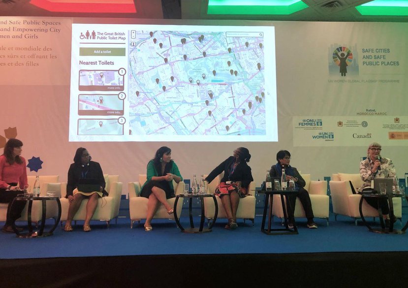
The project received a finalist award from the ESRC for Outstanding Impact in Society (2016). Bichard and Ramster continue to present the project, most recently at Healthy City Design International, 13–14 Oct 2019, London and Fifth UN Women Safe Cities and Safe Public Spaces Global Leaders’ Forum, 26 Feb 2020, Rabat, Morocco.
The map led to a spin-out company Public Convenience, set up in 2018 and co-directed by Professor Jo-Anne Bichard, Gail Ramster and developers Neontribe. Since 2018 the map has been sponsored by Domestos (Unilever).


Ask a question
Get in touch to find out more about our research projects.
[email protected]